
Winchester Neighbor Lookup Sources
A nearby Winchester block can be understood through several source types, each with a narrow job. The public GIS viewer locates the target parcel and adjacent shapes. Vision assessment cards supply property fields one selected address at a time. Archives add dated occupant and building context. Neighborhood Design District plans show public planning geography. Association pages may publish board or covenant information, but they are not household lists. Use a source to answer only the question it can actually support.
| Source | What It Shows About a Block | Access |
|---|---|---|
| City GIS parcel viewer | Adjacent parcels, structures, streets, zoning, and jurisdiction layers | Public map viewer; pan and identify selected parcels |
| Vision property cards | Address, PID, assessment owner field, and building details for a chosen parcel | Public property search; no bulk adjacent export observed |
| Neighborhood Design District plans | Planning boundaries, parcels, zoning, and public-input geography | City planning page and plan documents |
| Handley directories and maps | Dated occupants, businesses, street lists, structures, and lot patterns | Reading room, archive databases, and reference request |
| Public association pages | Published board contacts, covenants, news, or meeting information | Association site; not a member directory |
| Neighborhood parks page | Named parks and public landmarks near neighborhood areas | City parks information; not a person record |
An assessment owner is not necessarily an occupant, and a dated directory entry is not proof of current presence. Retain the parcel identifier, source, and date rather than converting these distinct records into a single list of your neighbors.
Define Winchester Neighbors First
“Neighbor” can mean adjoining parcel, the same block, a nearby public landmark, a planning district, or a postal area. The city GIS service exposes parcels, streets, building footprints, zoning, historic district, corporate limits, Frederick County, contours, streams, and wetlands. Those layers explain why a map boundary may not match a familiar neighborhood name. They also make it possible to distinguish a Winchester city parcel from a Frederick County parcel with a Winchester mailing address.
Winchester’s neighborhood parks page provides public landmarks that can orient a block without identifying private households.
Parks such as Cedarmeade, Frederick Douglass/Friendship, Whittier Acres, Park Place, Rolling Hills, and Harvest Ridge are geographic references. They should not be used to infer that someone lives nearby. The city describes more than 270 acres of parks, with more than 100 acres in neighborhoods, which makes a landmark layer useful for orientation only.
Map Winchester Neighbor Records
Use the City of Winchester property viewer for an adjacent-parcel workflow. Search the target address, identify its parcel, then pan or zoom to the touching parcel shapes. Use an identify or click control if the current viewer provides one. The official material captured for research did not document a radius, buffer, or dedicated adjacent-parcel button, so do not claim one exists. Confirm the live controls before relying on a particular map action.
- Find the target address and note its parcel or map key, plus the displayed city or county context.
- Pan to adjoining parcel shapes and use the viewer’s current identify control only as needed for each selected property.
- Open a Vision property card for a selected address when an assessment field or building detail is relevant.
- Cross-check the Corporate Limits and Frederick County layers before treating a Winchester mailing address as a city record.
- Keep the result at parcel and source level; use the full named-street chain only when it serves the separate Winchester Streets workflow.
The useful flow is address → target parcel → adjoining parcel shapes → selected property card → dated supporting record. It identifies property context without making claims about relationships among people at nearby addresses.
Winchester Block Record Layers
Parcel geometry answers a different question from a historic directory or Sanborn map. The map can show a lot boundary. Vision can show the current assessment owner field and building details. A Handley directory can show an occupant or business for a publication year. A Sanborn sheet can show the physical building, use, materials, alley, and lot pattern for its map date. A recorded deed can identify a transfer or a legal description, including adjoining owners where the instrument says so.
For older context, Handley’s Winchester photographs are filed by address and county photographs are indexed by home name. Its local newspaper trail includes historic papers as early as 1786 and Winchester Star microfilm from 1896 to the present. Search a street number and variant carefully, then confirm an address mention against the archive image, a map, or the relevant government record. A public record can explain a block’s history without proving a current household connection.
Note: The city GIS map is the appropriate public starting point, while archive material supplies dated context that the map cannot provide.
Winchester Planning Records, Not HOAs
City Neighborhood Design Districts are civic planning layers, not private-association rosters. Winchester identifies Cedar Valley, Cider Hill, Berryville Avenue, and Old Town as district areas with resident-led committees, focus groups, open houses, and surveys. Planning materials can include maps, parcel lists, zoning, and public-input methods. They are useful when the question is about a project boundary or neighborhood planning history, not when the question is who belongs to a private group.
Winchester Neighborhood Design Districts publishes the city’s planning context for those areas.
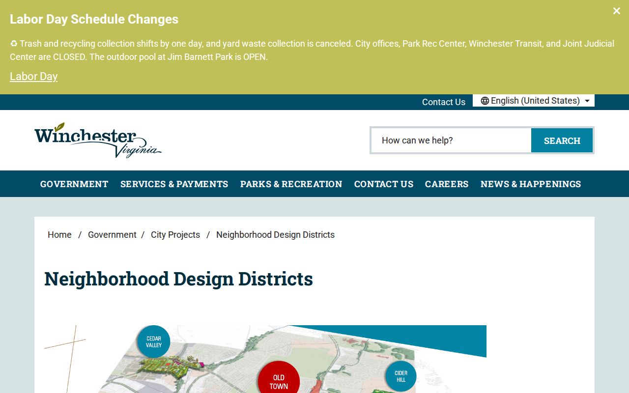
This distinction is a useful local quirk. A civic boundary may cover many parcels, while a private association may cover a different development, and neither boundary proves an individual’s current residence or membership.
Compare Winchester Neighbor Records
Official records and commercial neighbor tools have different limits. A commercial result may combine information from several places, use an uncertain date, or merge people with similar names. It is not an authoritative Winchester block record. The comparison below keeps the better question in view: which source confirms a particular property, historical address, public civic boundary, or published association detail?
| Source type | Useful for | Limit to remember |
|---|---|---|
| City GIS and Vision | Parcel context, selected assessment fields, and city/county boundaries | Owner-of-record is not proof of current occupancy |
| Clerk, archive, and maps | Recorded transfers, dated occupants, building continuity, and source history | Each record is tied to its own date and purpose |
| Commercial neighbor tools | A possible lead to verify with a custodian | May be stale, incomplete, conflated, or unsuitable for reuse |
Use the city FOIA route for a specific existing city record when no public index covers it. Requests may be made online, by email, mail, fax, phone, or in person, and should identify the record and date range with reasonable specificity. The city may charge actual search, review, copying, or delivery costs subject to its process.
Voter information needs a separate boundary. The Virginia Voter Information portal offers an individual’s registration or update route, status check, polling-place lookup, election-district lookup, absentee-status lookup, and voting-history functions. It is not a public name directory. The captured material did not expose stable live field labels, match language, result columns, pagination, or export details, so none should be assumed. Voter-list products use a separate request form with eligibility categories and locality filters. Public-product rules protect SSNs, day and month of birth, declination records, agency identity, and protected residence addresses. Questions about status, corrections, or list eligibility belong with the Winchester Office of Elections or the Virginia Department of Elections.
Winchester Neighbor Association Records
The city did not publish a complete master directory of private HOAs or civic associations in the material reviewed. Two public examples illustrate the proper boundary. Senseny Glen identifies a Winchester HOA in Frederick County and exposes board, news, and covenant material. Sovereign Village identifies Winchester, Virginia 22602 and publishes community information, deed dedications, bylaws, and related references. Neither public page is a household roster.
| Public source | What is published | Appropriate use |
|---|---|---|
| Senseny Glen | Board contact, news, covenants, and association information | Confirm deliberately published association material |
| Sovereign Village | Community information, bylaws, deed dedications, and public updates | Understand the association’s stated public framework |
| City Design Districts | Planning geography, maps, projects, and public participation | Understand civic district context rather than membership |
Senseny Glen’s public association page illustrates the board-and-covenant information an association may intentionally share.
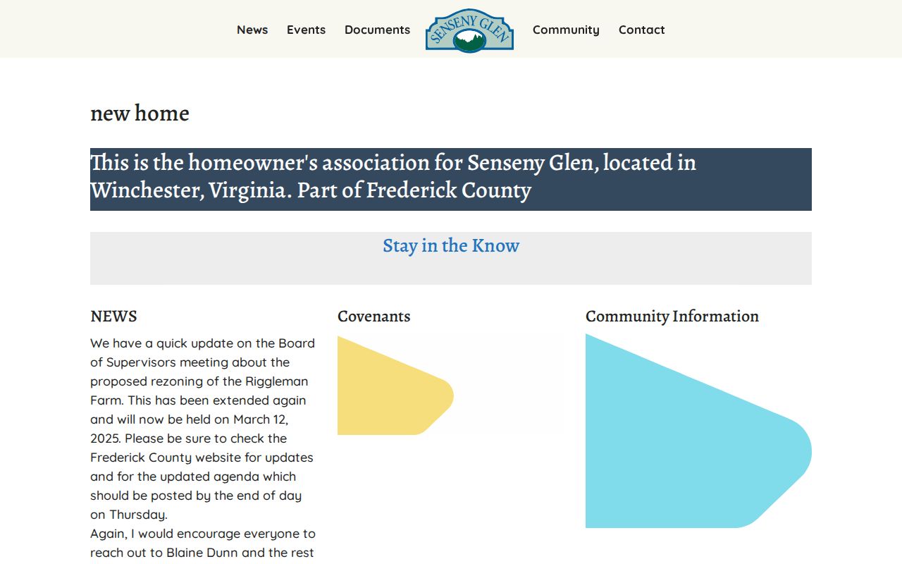
Published board contacts are association contacts, not permission to reconstruct a private membership list or to infer relationships among nearby addresses.
Sovereign Village’s public HOA information offers another local example of a page focused on community documents and notices.
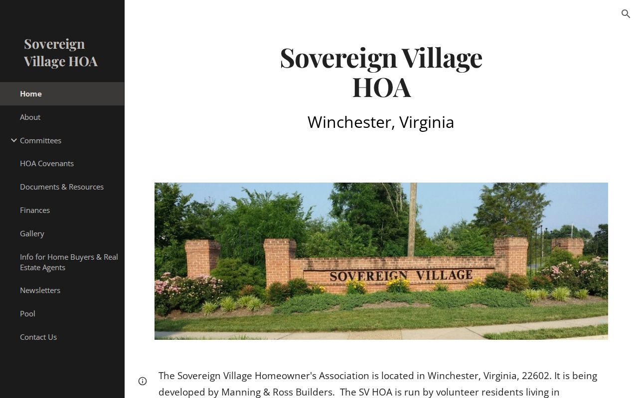
Its public materials provide association context. They do not establish a current household list or replace a parcel-specific official source.
Winchester Neighbor Privacy Records
Virginia public-record access has boundaries. Winchester’s FOIA materials identify exemptions that can involve tax returns, the first five SSN digits, victim or witness information, juvenile law-enforcement records, VCIN records, and financial-account data. Voter-related provisions exclude SSNs, day and month of birth, declination records, agency identity, and protected residence addresses. DMV information is privileged. A map or an old directory cannot override those protections.
Lawful use. Winchester neighbor research can support personal curiosity, civic understanding, and a careful property question. Do not use names or addresses to watch, harass, intimidate, threaten, or expose protected information.
The Virginia Address Confidentiality Program can provide eligible participants with a substitute mailing address and confidentiality protections. Records are dated and may be incomplete. Contact the official custodian for a correction or current status, and do not treat a parcel owner, voter record, archive entry, or association post as proof of present residence or identity.